Mt. Asgard
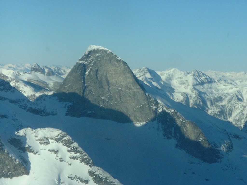 Located at the headwater of Mulvey Creek on the North-West edge of Mulvey Basin.
East Ridge:
Approach from Mulvey Basin, climb talus slopes on right of south face to the summit. Standard Descent Route. Time from Mulvey Basin 2-3 hours.
South Face Center:
Start from left slanting crack system in center of face. Climb runout crack system to slab system traversing leftwards into crack system on left of more obvious crack system on right. If you climb right crack system dead ends after 2-3 pitches and requires rappels into left system. Crack climbs to summit through small roof. 5.8
South Face Left Center:
Climb left crack system which tends rightwards into summit roof system. 5.8
West Ridge ****: 5 pitches from col 5.7
New Route left center face at http://www.genuineguidegear.com/life/blog/cam/new-alpine-route-mt-asgard-valhallas 5.10-5.11
More photos at http://kootenayexperience.smugmug.com/Kootenay-Locations/Valhalla-Provincial-Park/3169333_uXeNw/1/181810780_e8LrV#181810780_e8LrV
More Information
Canadian Mountain Encyclopedia
posted by Trevor at 9:58 PM
![]()
![]()


0 Comments:
Post a Comment
<< Home